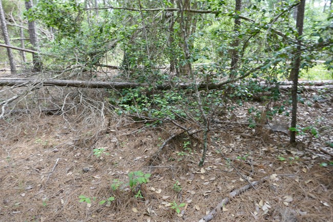
Gilmour Hill Fire Tower Site
US 1749, AL 20

Photo courtesy of Andrew Zerbe
Lookout Details
| Registry Numbers | US 1749, AL 20 (view other lookout sites in United States, Alabama) |
| Date Registered | September 15, 2019 |
| Nominated by | Andrew Zerbe |
| Location | Barbour County, Alabama |
| Coordinates |
N 31° 52.674' W 085° 15.924' (view using Google Maps) N 31° 52' 40" W 085° 15' 55" N 31.877900° W 085.265400° |
| Elevation | 551 ft (168 m) |
| Administered by | Alabama Forestry Commission |
Description
Tower found on AFC list. Location found on topo map. Stands are all that remain.
Map
Change Basemap