Blue Ridge Lookout - 1994
Lookout Details
| Registry Numbers | US 1998, CA 123 (view other lookout sites in United States, California) |
| Date Registered | April 13, 2020 |
| Nominated by | Brad Eells |
| Location | Tulare County, California |
| Coordinates |
N 36° 17.216' W 118° 50.381' (view using Google Maps) N 36° 17' 13" W 118° 50' 23" N 36.286938° W 118.839677° |
| Elevation | 5,731 ft (1,747 m) |
| Built | 1930 |
| Removed | 2010 |
| Administered by | California Department of Forestry and Fire Protection - Tulare Unit (CAL FIRE - TUU) |
| Cooperators | US Forest Service |
Description
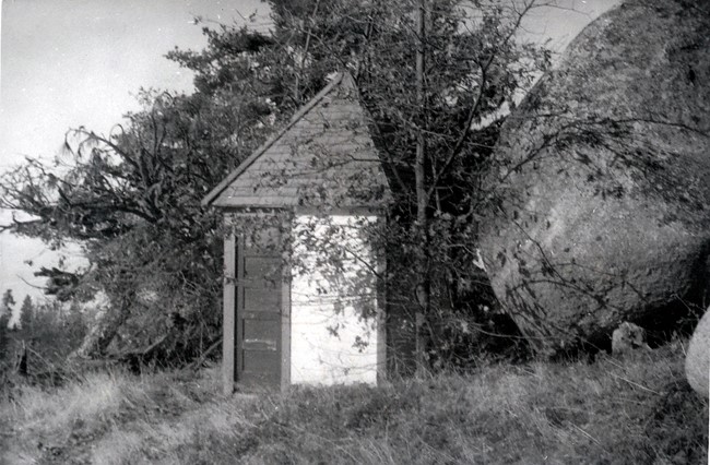
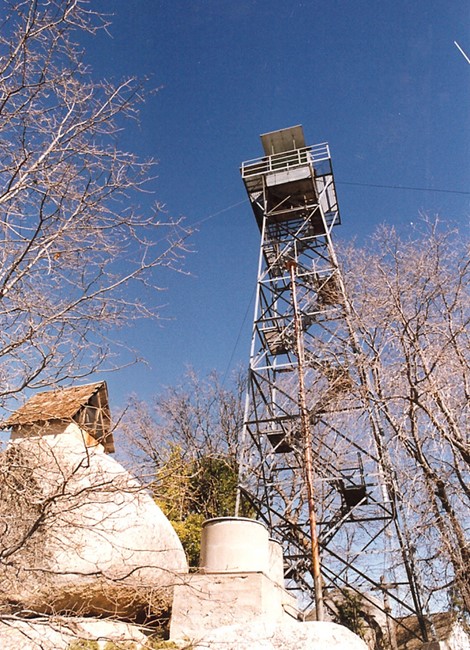
This was an early day "cooperative lookout" between the Forest Serviceand CDF. The 60 foot open steel tower, an Aermotor Company product with a 7x7 observation only cabin, was jointly erected by these agencies in 1930. In 1931 the residence was constructed. The lookout station
was officially dedicated on May 24th, 1931. The garage was built in 1932.
This is the oldest surviving CDF lookout residence. Neither the house nor garage have suffered significant integrity loss (garage doors were replaced with overhead aluminum door; metal door installed on back porch of the house,
some interior remodeling). The tower's cab modification occurred in 1960 (Plan No. 828). The station exhibits exemplary craftsmanship (the house features decorative brackets on the gable ends).
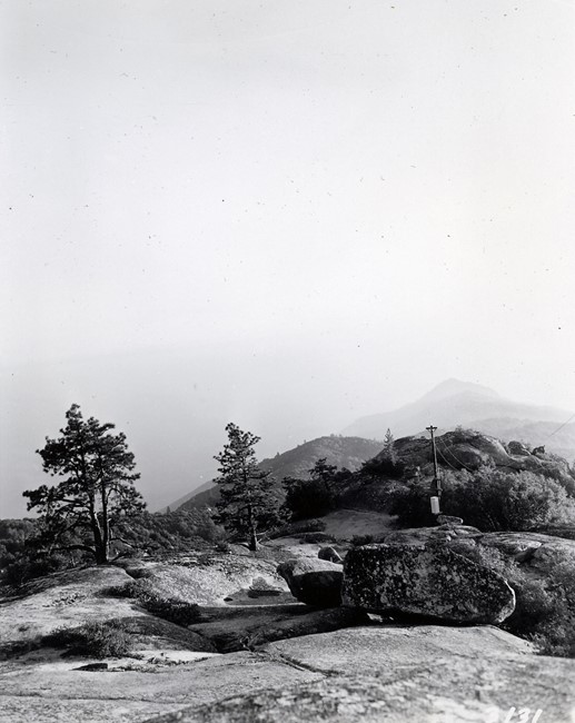
These facilities are under the management of the State Department of Fish and Game. The lookout is centrally located upon a "Y" shaped ridge that drops some 2,500 feet into surrounding canyons. The prominence is on the western edge of the Sequoia National Forest (near Sequoia National Park). Vegetation is pine, oak, manzanita and bear clover. This is an intensively used communications site (tremendous electromagnetic radiation at cab level). A paved road enters the area from the east, through structural intermix. (MVT 10/91)
The tower dismantled carefully and moved to the Tulare County Fairgrounds in 2010 to be used as a interpretive display. Only the cabin is currently used in a ground level display.
Map
Photos
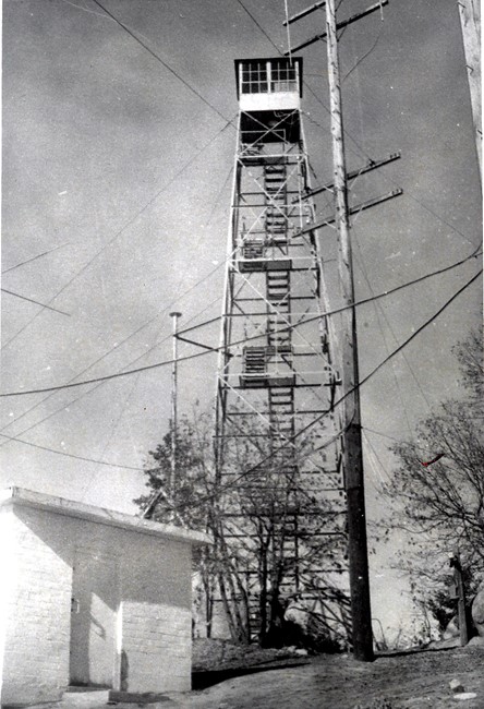
Circa 1950's
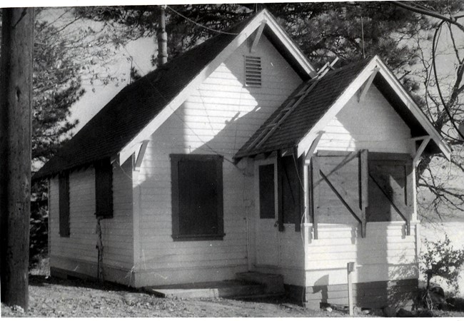
Residence Cabin
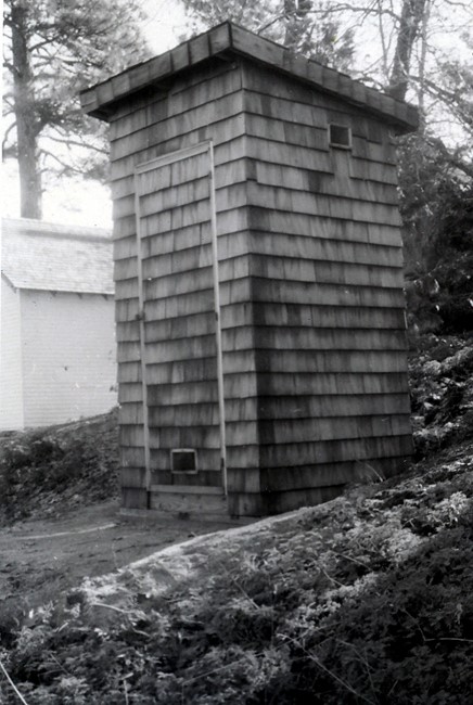
Photo courtesy of Cal Fire Museum