Ironside Mountain Lookout Site
US 2083, CA 169

Lookout Details
| Registry Numbers | US 2083, CA 169 (view other lookout sites in United States, California) |
| Date Registered | May 22, 2022 |
| Nominated by | Vickie Lamoureux |
| Location |
Shasta-Trinity National Forest Trinity County, California |
| Coordinates |
N 40° 49.959' W 123° 27.080' (view using Google Maps) N 40° 49' 58" W 123° 27' 05" N 40.832658° W 123.451330° |
| Elevation | 5,169 ft (1,576 m) |
| Removed | 2021 |
| National Historic Lookout Register | US 1057, CA 102 |
| Administered by | U.S. Forest Service |
Description
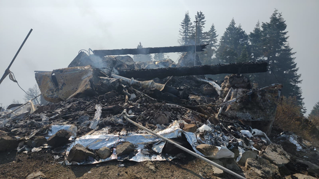
This tower was destroyed by the Monument Fire in August 2021.
Map
Change Basemap
Photos

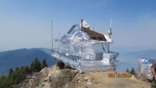
2015 fire wrapping photo

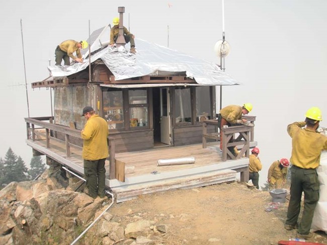
2015 fire wrapping photo