Buster Butte Lookout Site
US 773, OR 182
Buster Butte Lookout 1933 - 1961
Lookout Details
| Registry Numbers | US 773, OR 182 (view other lookout sites in United States, Oregon) |
| Date Registered | November 24, 2010 |
| Nominated by | Ray Kresek |
| Location |
Umpqua National Forest Lane County, Oregon |
| Coordinates |
N 43° 29.243' W 122° 34.758' (view using Google Maps) N 43° 29' 15" W 122° 34' 45" N 43.487390° W 122.579300° |
| Elevation | 3,832 ft (1,168 m) |
| Administered by | U.S. Forest Service |
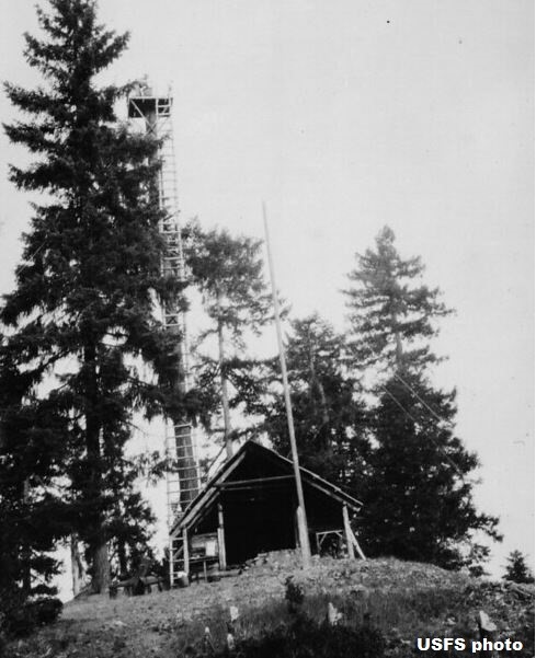
Description
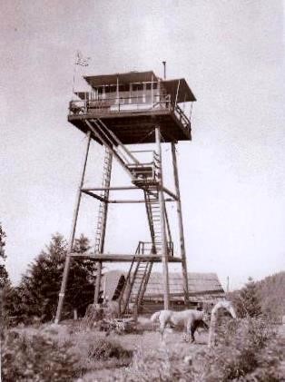
A crows nest and shelter were set up on this site in 1929. In 1933, a 40' L-4 tower was built, which was replaced in 1955 with a 41' treated timber R-6 tower. This tower was moved to Cinnamon Butte in 1976.
Map
Change Basemap
Photos
Buster Butte Lookout 1933 - 1955
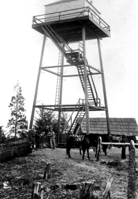
Buster Butte Lookout 1940
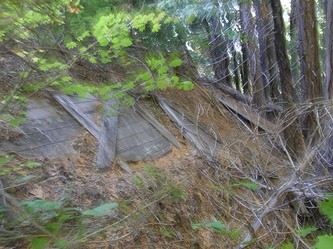
Buster Butte Lookout site 2007