Chinidere Mountain Lookout Site
US 582, OR 23
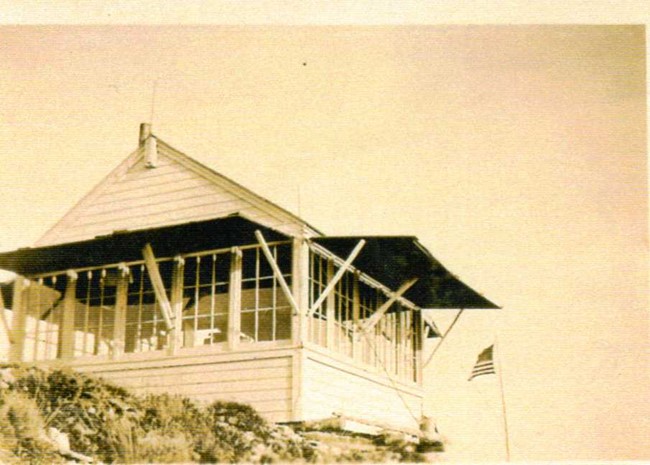
Chinidere Mountain Lookout 1934
Lookout Details
| Registry Numbers | US 582, OR 23 (view other lookout sites in United States, Oregon) |
| Date Registered | August 17, 2010 |
| Nominated by | Ray Kresek |
| Location |
Mount Hood Region Hood River County, Oregon |
| Coordinates |
N 45° 35.175' W 121° 48.707' (view using Google Maps) N 45° 35' 10" W 121° 48' 42" N 45.586250° W 121.811780° |
| Elevation | 4,674 ft (1,425 m) |
| Administered by | U.S. Forest Service |
Description
Erected in 1929, this lookout consisted of a firefinder platform with tent and phone. In 1934, an L-4 dab was constructed. The lookout was gone by the 1940s.
Map
Change Basemap
Photos
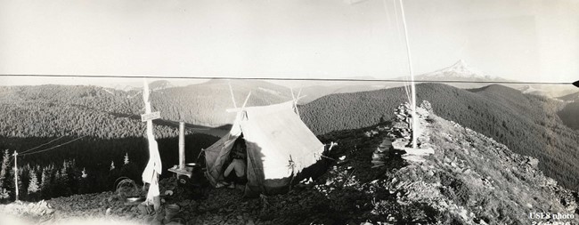
Chinidere Mountain Lookout camp 1929 - 1934

Chinidere Mountain Lookout site