Fanno Mountain Lookout Site
US 706, OR 117
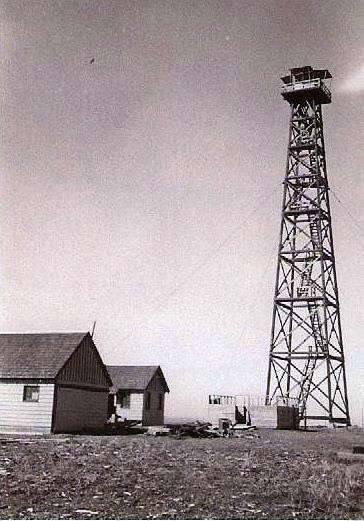
Fanno Mountain Lookout 1941
Lookout Details
| Registry Numbers | US 706, OR 117 (view other lookout sites in United States, Oregon) |
| Date Registered | November 8, 2010 |
| Nominated by | Ray Kresek |
| Location |
Oregon North Coast Polk County, Oregon |
| Coordinates |
N 44° 52.155' W 123° 38.618' (view using Google Maps) N 44° 52' 09" W 123° 38' 37" N 44.869250° W 123.643630° |
| Elevation | 3,333 ft (1,016 m) |
| Administered by | Oregon Dept. of Forestry |
Description
1930s: The first lookout was a 99' pole L-6 tower built in the 1930s. This was replaced in 1940 with a 50' pole L-4 tower, which was destroyed in the 1962 Columbus Day Storm.
Map
Change Basemap
Photos
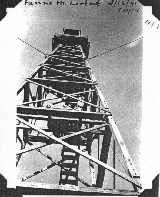
Fanno Mountain Lookout 1941