Huckleberrry (Shasta) Lookout Site
US 861, OR 228
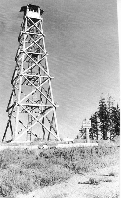
Huckleberrry Mountain Lookout 1942
Lookout Details
| Registry Numbers | US 861, OR 228 (view other lookout sites in United States, Oregon) |
| Date Registered | March 19, 2011 |
| Nominated by | Ray Kresek |
| Location |
Rogue River National Forest Jackson County, Oregon |
| Coordinates |
N 42° 51.107' W 122° 18.849' (view using Google Maps) N 42° 51' 06" W 122° 18' 51" N 42.851780° W 122.314150° |
| Elevation | 6,281 ft (1,914 m) |
| Administered by | U.S.Forest Service |
Description
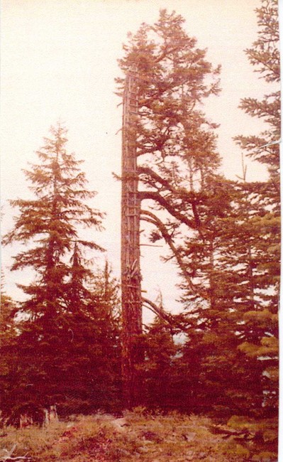
A crows nest and camp were set up on this site in 1929. These were replaced by a 50' pole L-6 tower and cabin in 1934. The lookout was removed about 1960.
Map
Change Basemap
Photos
Huckleberrry Mountain Lookout