Tiptop Mountain Lookout Site
US 1831, OR 554
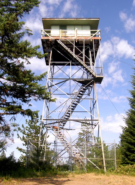
Tiptop Mountain Lookout 2008
Lookout Details
| Registry Numbers | US 1831, OR 554 (view other lookout sites in United States, Oregon) |
| Date Registered | November 18, 2019 |
| Nominated by | Tammy McLeod |
| Location | Umatilla County, Oregon |
| Coordinates |
N 45° 26.720' W 118° 25.348' (view using Google Maps) N 45° 26' 43" W 118° 25' 21" N 45.445333° W 118.422469° |
| Elevation | 4,574 ft (1,394 m) |
| Built | 1930 |
| Removed | 2016 |
| Administered by | Oregon Department of Forestry |
Description
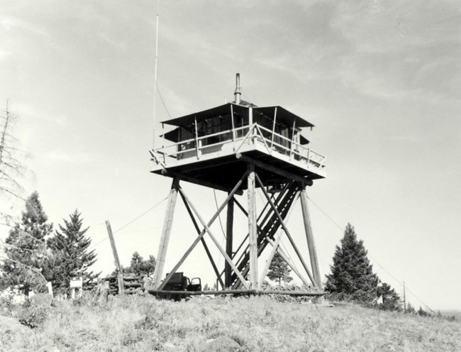
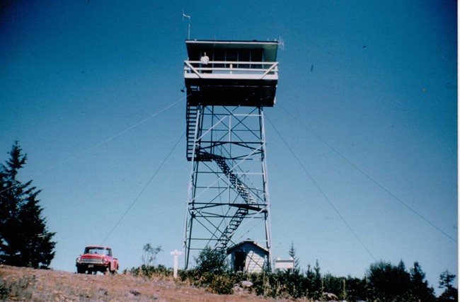
A L-4 on a wooden tower was constructed on the site in 1930 which was replaced by a 40 foot Aermotor tower with Amort cab in 1961. The tower was moved in 2016 and the cab burned.
Map
Change Basemap
Photos
Tiptop Mountain Lookout 1961
Tiptop Mountain Lookout