Doyle (Milksick Mountain) Tower Site
US 1738, TN 4
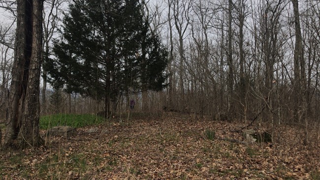
April 2018 photo
Lookout Details
| Registry Numbers | US 1738, TN 4 (view other lookout sites in United States, Tennessee) |
| Date Registered | February 19, 2019 |
| Nominated by | Victoria Oliver |
| Location | White County, Tennessee |
| Coordinates |
N 35° 51.657' W 085° 26.653' (view using Google Maps) N 35° 51' 39" W 085° 26' 39" N 35.860951° W 085.444221° |
| Elevation | 1,671 ft (509 m) |
| Administered by | Tennessee Division of Forestry |
Description
As of April 2018, the only thing remaining of this 50-foot metal cab Aermotor tower was its concrete footings. The tower was still standing through at least the early 1990s.
According to local history and legend, Milksick Mountain gained its name after early settlers noticed that those who consumed the milk from cattle grazing on the mountain often became sick or even died. Eventually it was discovered that whitesnake root grew along the slopes and sides of the mountain, tainting the milk of cattle who consumed it. Enough people were harmed that the mountain was eventually fenced off to keep the cattle from grazing there.
Map
Change Basemap