Deming Lookout Site
US 1235, WA 135
Lookout Details
| Registry Numbers | US 1235, WA 135 (view other lookout sites in United States, Washington) |
| Date Registered | March 26, 2012 |
| Nominated by | Ray Kresek |
| Location |
Northwest Washington Whatcom County, Washington |
| Coordinates |
N 48° 51.428' W 122° 11.982' (view using Google Maps) N 48° 51' 26" W 122° 11' 59" N 48.857130° W 122.199700° |
| Elevation | 2,806 ft (855 m) |
| Administered by | Washington Division of Forestry/DNR |
Description
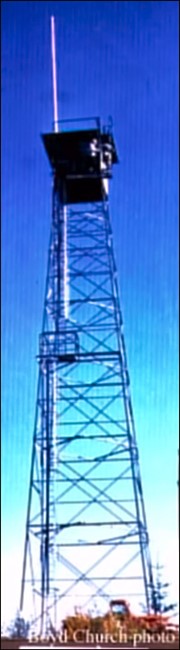
First used with an 80' pole tower in 1929, a 75' steel tower replaced it in 1947. Then a 40' wooden DNR tower was constructed in 1965, and was removed in 1985. The cab is now on display at the Forks Museum.
Map
Change Basemap
Photos
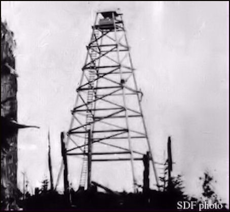
Original tower in 1930