Griffin Peak Lookout Site
US 1534, WA 434
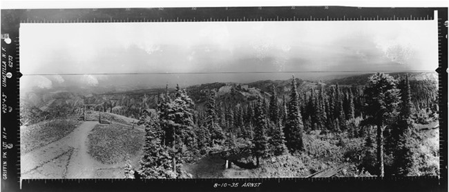
Griffin Peak Lookout panoramic 8-19-1935 (N)
Lookout Details
| Registry Numbers | US 1534, WA 434 (view other lookout sites in United States, Washington) |
| Date Registered | December 17, 2012 |
| Nominated by | Ray Kresek |
| Location |
Umatilla National Forest Columbia County, Washington |
| Coordinates |
N 46° 05.606' W 117° 54.712' (view using Google Maps) N 46° 05' 36" W 117° 54' 43" N 46.093440° W 117.911860° |
| Elevation | 5,696 ft (1,736 m) |
| Administered by | U.S. Forest Service |
Description
An L-4 tower was constructed here about 1938, later abandoned, and is now gone.
Map
Change Basemap
Photos
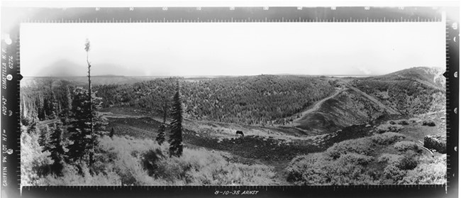
Griffin Peak Lookout panoramic 8-19-1935 (SE)
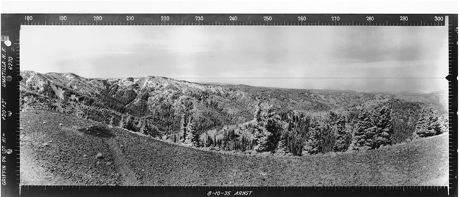
Griffin Peak Lookout panoramic 8-19-1935 (SW)