Hunters Cabin Lookout Site
US 1970, WA 469
Hunters Cabin Lookout site
Lookout Details
| Registry Numbers | US 1970, WA 469 (view other lookout sites in United States, Washington) |
| Date Registered | April 3, 2020 |
| Nominated by | Tammy McLeod |
| Location | Lewis County, WA |
| Coordinates |
N 46° 43.553' W 122° 37.119' (view using Google Maps) N 46° 43' 33" W 122° 37' 07" N 46.725875° W 122.618646° |
| Elevation | 2,681 ft (817 m) |
| Built | 1940 |
| Administered by | Washington Forest Fire Association |
Description
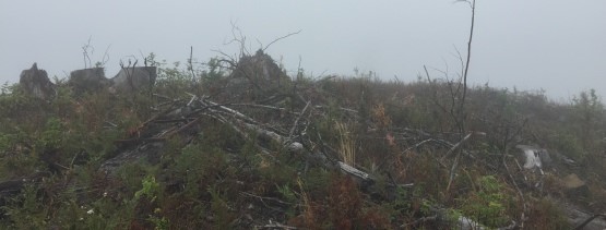
A cabin was constructed on the site in 1940. This was replaced with a U.S. Army cabin in 1954. The lookout was abandoned in 1965. It is no longer standing.
Map
Change Basemap
Photos
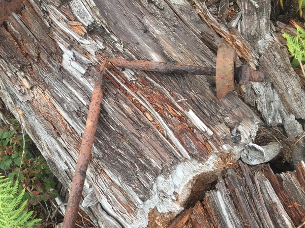
Hunters Cabin Lookout site