Lookout Details
| Registry Numbers | US 1530, WA 430 (view other lookout sites in United States, Washington) |
| Date Registered | December 17, 2012 |
| Nominated by | Ray Kresek |
| Location |
Northeast Washington Stevens County, Washington |
| Coordinates |
N 48° 10.878' W 117° 59.404' (view using Google Maps) N 48° 10' 53" W 117° 59' 24" N 48.181300° W 117.990070° |
| Elevation | 5,819 ft (1,774 m) |
| National Historic Lookout Register | US 474, WA 49 |
| Administered by | Washington Dept. of Natural Resources |
Description
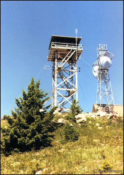
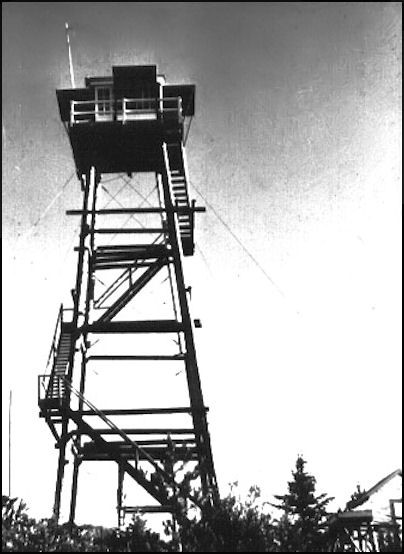
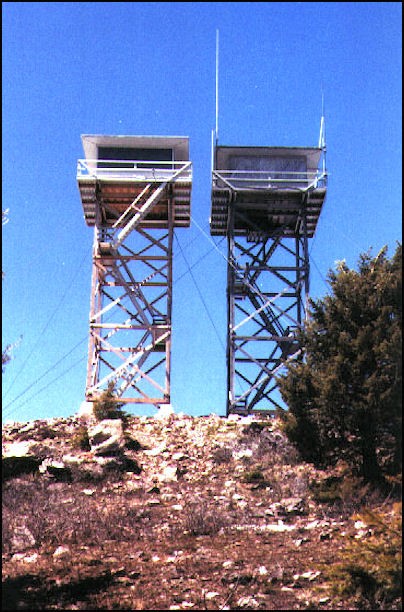
The summit was first used for fire detection in 1930, when a platform tower and cabin were built. This was replaced by 50' pole tower with 7'x7' cab in 1936. A standard 40' wooden tower with DNR live-in cab was built in 1959. The present 42' wooden tower with live-in cab, built in 1983, was last staffed during the tinder-dry 1994 fire season. It offers incredible views south across the Columbia Basin and Spokane, east to Montana, west to the Cascade Mountain Range, and north into Canada. Listed on the National Historic Lookout Register, the tower was moved to the Northeast Washington Fairgrounds in Colville in 2008.
Map
Photos

1957

Twins, 1984