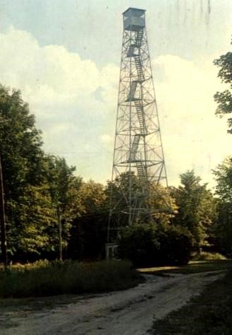
1966 postcard
Lookout Details
| Registry Numbers | US 1743, WI 2 (view other lookout sites in United States, Wisconsin) |
| Date Registered | March 3, 2019 |
| Nominated by | Brecken Young |
| Location | Forest County, Wisconsin |
| Coordinates |
N 45° 33.482' W 088° 48.838' (view using Google Maps) N 45° 33' 29" W 088° 48' 50" N 45.558028° W 088.813964° |
| Elevation | 1,938 ft (591 m) |
| Removed | circa 1980s |
| Administered by | Wisconsin Department of Natural Resources |
| Cooperators | Forest County Potawatomi (property owners) |
Description
At the second highest elevation in the state, Sugar Bush Hill has housed three fire lookout towers since the 30’s as well as a massive AT&T microwave tower. The name Rat Lake comes from nearby Wabikon Lake, alternatively called Rat Lake. The first lookout was a steel structure with a cab less than 100’ tall. It was replaced by a wooden tower 101’ 6” tall built in January and February of 1938 by the Civilian Conservation Corps. Historic photos of the time show a towerman’s dwelling existed along with the wooden tower. At an unknown later date the wooden structure was replaced with a steel stairway style tower, likely an Aermotor MC-39. Rat Lake served as a lookout and radio link for the Wisconsin Department of Natural Resources until the late 80’s or early 90’s. It was deemed unnecessary at that time as the seen area from other adjacent lookouts covered most of the surrounding area. Today, all that remains of the lookouts and the communications tower are the four footings of the Aermotor style tower which was the last lookout to occupy the site.
Map
Photos
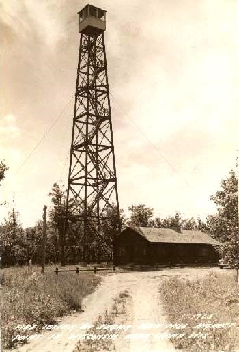
Postcard from unknown date
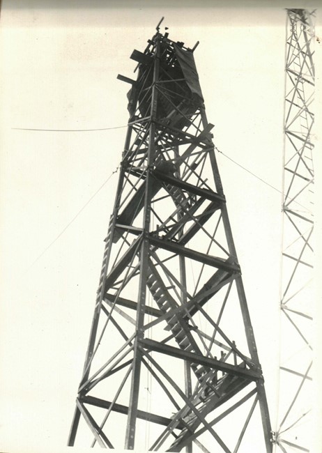
1938 photo
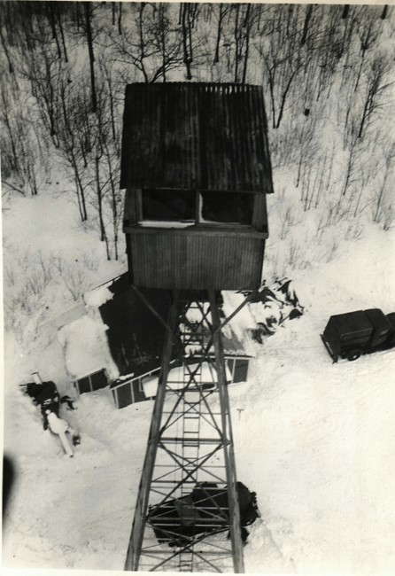
1938 photo of old tower from its replacement
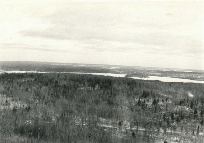
1938 view looking east
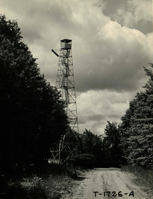
1958 view