Ball Rock Lookout Site
US 2045, CA 151
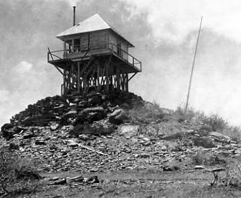
Ball Rock Lookout - 1927
Lookout Details
| Registry Numbers | US 2045, CA 151 (view other lookout sites in United States, California) |
| Date Registered | April 24, 2020 |
| Nominated by | Brad Eells |
| Location |
Mendocino National Forest Tehama County, California |
| Coordinates |
N 39° 58.006' W 122° 44.293' (view using Google Maps) N 39° 58' 00" W 122° 44' 18" N 39.966761° W 122.738218° |
| Elevation | 6,661 ft (2,030 m) |
| Built | Early to Mid-1920's |
| Removed | Unknown |
| Administered by | US Forest Service - Mendocino National Forest |
Description
Ball Rock was a California Region 5 Plan 4AR cabin on a 10 foot open timber tower. The lookout was likely constructed in the early to mid-1920's.
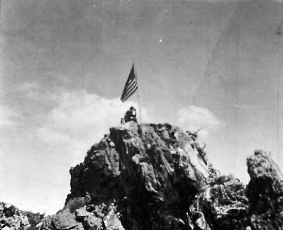
Removal date is unknown. Nothing remains at the site.
Map
Change Basemap
Photos
1914